Engineering the Circular Carbon Economy
Partnering with leading NBS/CDR developers to deliver verified impact. Vertically integrated drones and biomass logistics that convert agri-waste into value while enabling high-integrity carbon outcomes.
What We Do
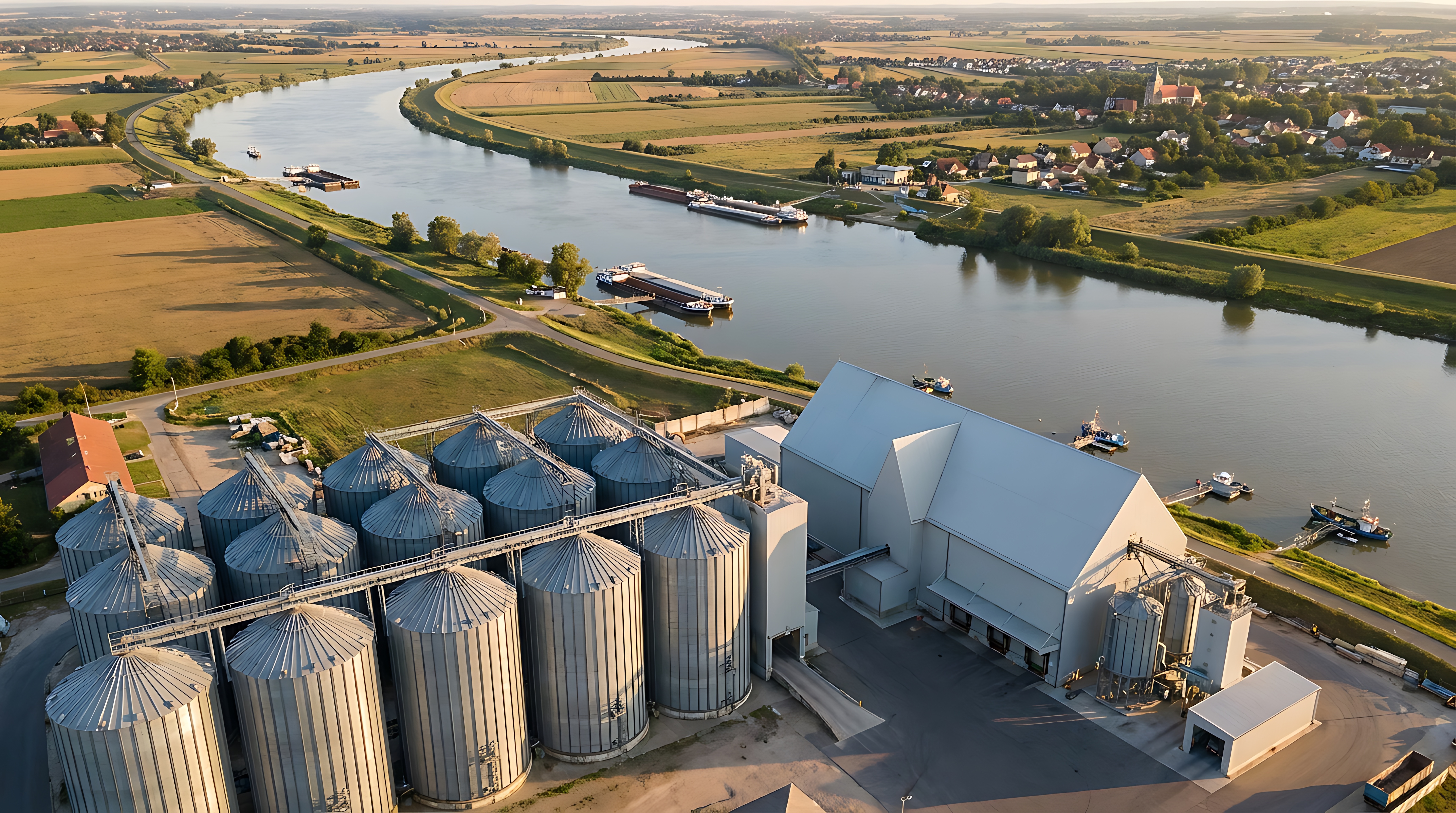
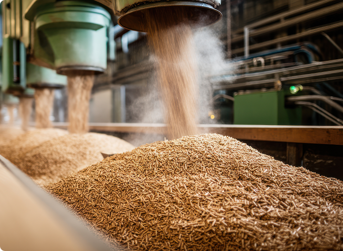
Biomass Supply Chain Mapping & Logistics
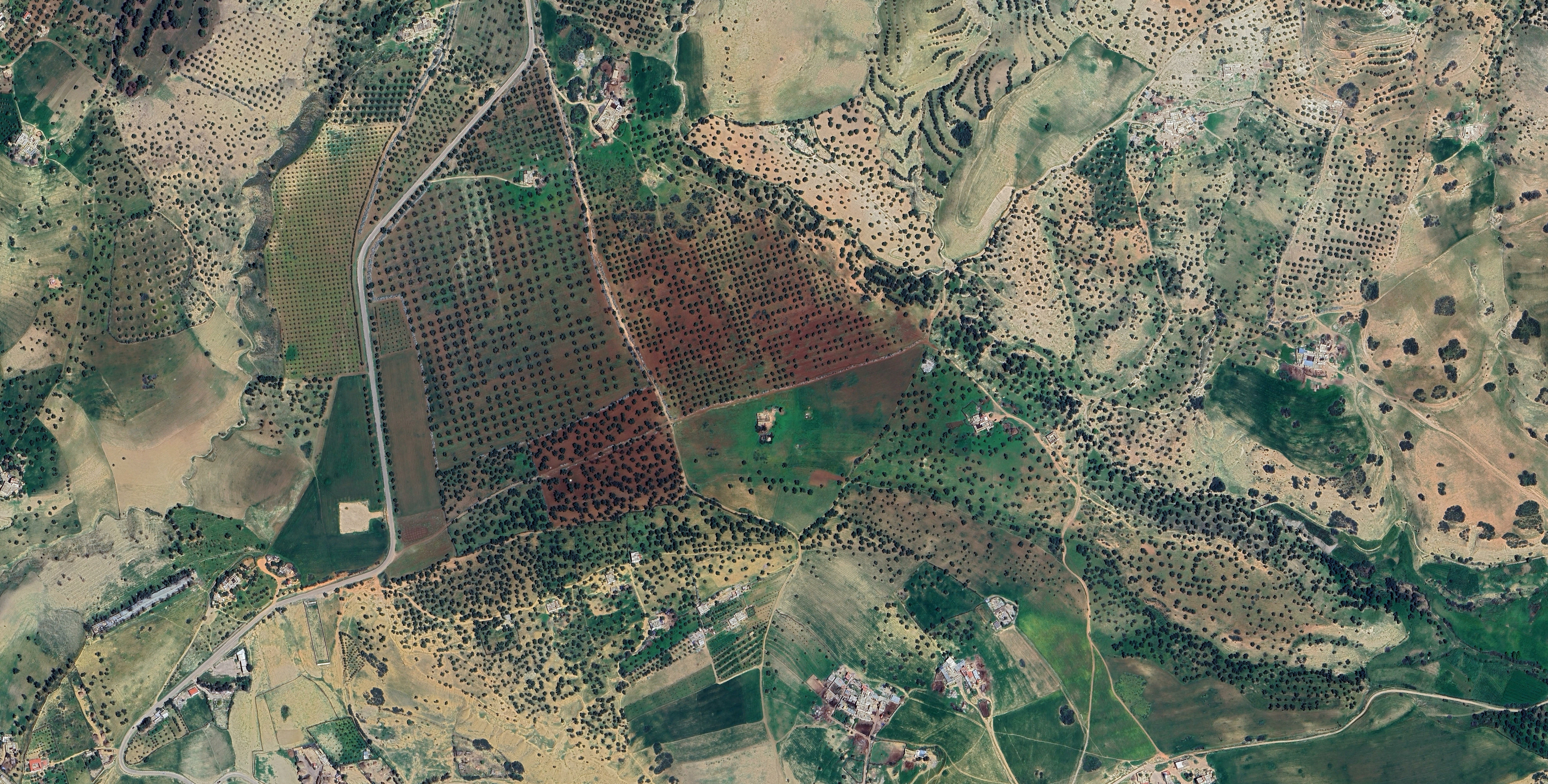
Agroforestry & Mangrove Intelligence
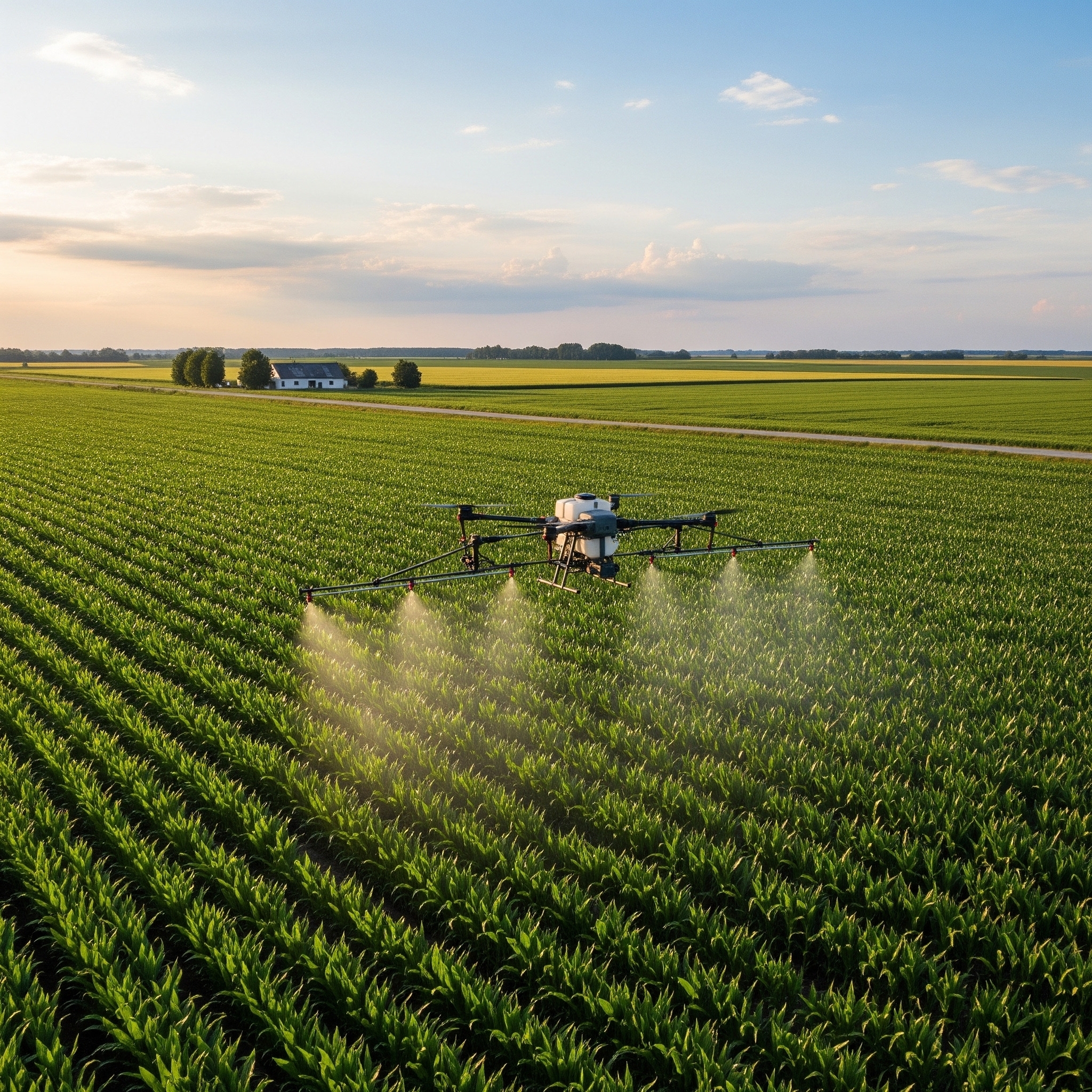
Agro-Spraying Services


Your Biomass Vertical Partner
Mapping a field is the starting point. We take you further — from biomass feasibility studies and farmer cluster formation to shredding, storage, hub-to-plant movement and DMRV-ready records that CDR partners can rely on.
One partner. Entire supply chain. Measurable at every stage.
Coverage at a glance
Feasibility → Procurement → Storage → Transport → Digital MRV
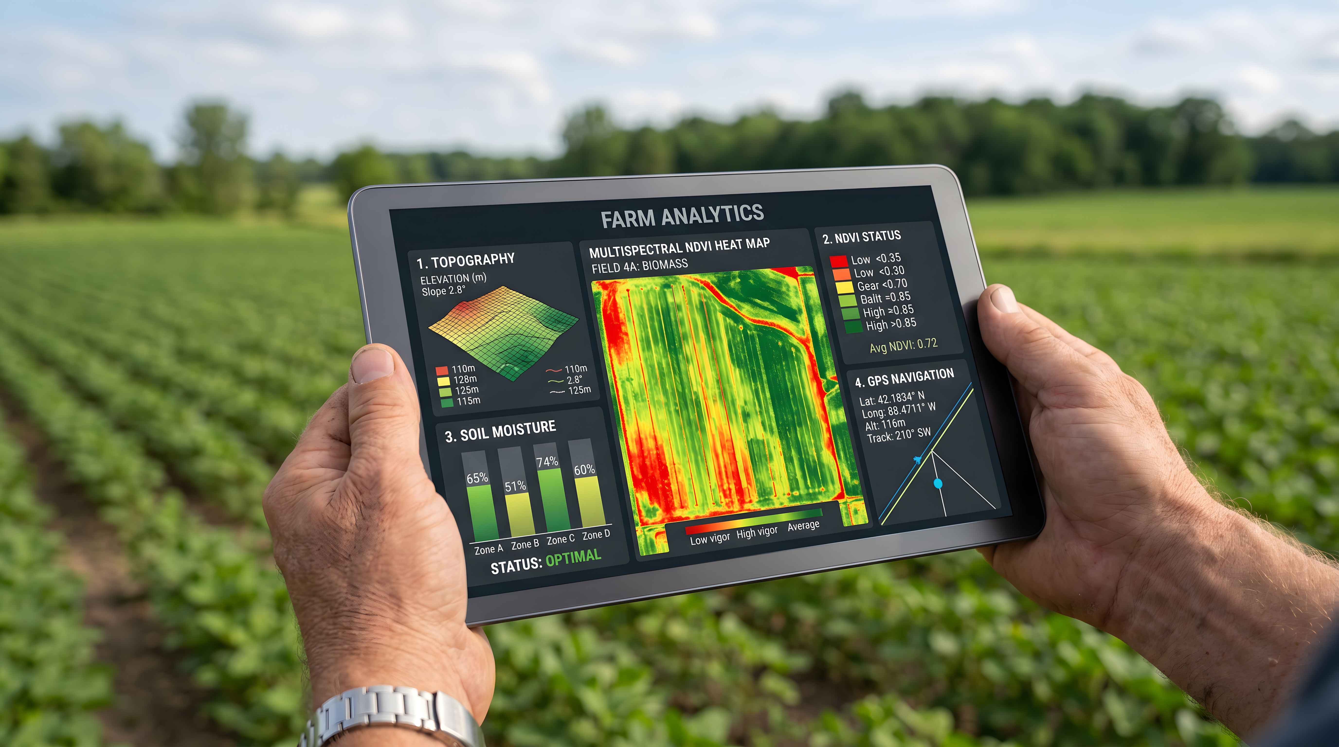
Built to Measure. Ready for Digital MRV.
Our operating model is designed around measurement. Every stage — source location, biomass type, quantity collected, movement route, processing output and biochar final sink — generates structured data records that CDR partners can use for verification, reporting and carbon removal accounting.
Our Partners & Ecosystem
Part of a connected climate-tech and biomass ecosystem working toward measurable, circular supply chains.